|
Monthly Special Sales!
10%
- 50%
off on select items or pages.

Select
Subject Pages Below:

This
Month's Catalogue
Page.
Items
Just Received


Books
by Tom Tag


SS
Portland
Portland
Gale
Pendleton
Fort Mercer 1952 Chatham


Lighthouse
Blog
Climate
Change

| |
Light
Lists & Coast Pilots
We
are continually acquiring more original light lists and coast pilots. Please
feel free to inquire about your area.
For
Charts and Maps please visit our Charts and Documents page !
U. S.
Light-House Service District Charts
20178. [Light-House
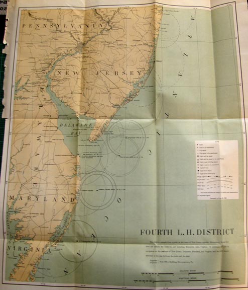
District Maps]. U. S. Light-House Service. c. 1900-1908. A rare
opportunity to obtain early, official U. S. Light-House Service District charts
of all district aids to navigation as bound in their Annual Reports. Normally
these charts are included within the Annual Reports and we are unable to offer
them separately but we have found a lot of disbound charts in wonderful
condition. These are perfect for matting and framing for your wall. Charts
detail the entire Light-House District in three colors, and show all
lighthouses, beacons, light vessels, fog signals, lighted buoys, Light-House
Depots, and more. Charts average about 14" x 18" in size with original
folds and are clean and crisp - they will flatten and frame nicely for your
wall. A rare chance to obtain the chart of your Light-House District for
framing. (VG).
FIRST LIGHT-HOUSE DISTRICT. From the head
of navigation on the St. Croix River, Maine to Hampton Harbor, New Hampshire.
Includes all of Maine and New Hampshire. $88.
SECOND LIGHT-HOUSE DISTRICT. From Hampton
Harbor, New Hampshire to Elisha Ledge off Warren, Rhode Island. Includes all of
Cape Cod, Nantucket and Martha’s Vineyard. $88.
THIRD LIGHT-HOUSE DISTRICT.
From Elisha Ledge off Warren, Rhode Island to and including a point on the coast
of New Jersey opposite Shrewsbury Rocks. $88.
PART OF THE THIRD LIGHT-HOUSE DISTRICT.
Includes all of Lake Champlain. $44.
FOURTH LIGHT-HOUSE DISTRICT. From a point
on the coast of New Jersey opposite Shrewsbury Rocks to and including Metomkin
Inlet, Virginia. Includes New Jersey, Delaware, Maryland and Virginia. $88.
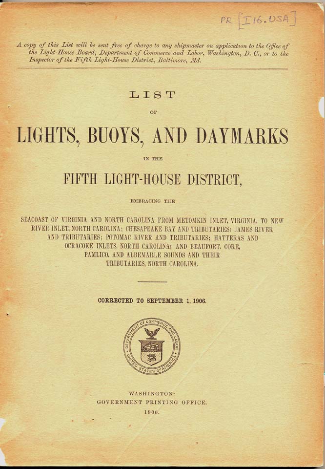
FIFTH LIGHT-HOUSE DISTRICT. From Metomkin
Inlet, Virginia to and including New River Inlet, North Carolina. $88.
SIXTH LIGHT-HOUSE DISTRICT.
From New River Inlet, North Carolina to and including Jupiter Inlet
Light-Station, Florida. Includes part of North Carolina, all of South Carolina,
Georgia, and Florida between the limits named. $88.
SEVENTH LIGHT-HOUSE DISTRICT. From a
point south of Jupiter Inlet Light-Station to Perdido Entrance, Florida.
Includes all of the sea and Gulf Coasts of Florida. $88.
EIGHTH LIGHT-HOUSE DISTRICT. From Perdido
Entrance, Florida to the southern boundary of Texas. Includes all of the Gulf
Coast and lower Mississippi River. $88.
NINTH LIGHT-HOUSE DISTRICT. Includes all
of Lake Michigan, Green Bay and tributary waters. $88.
TENTH LIGHT-HOUSE DISTRICT.
Extends from the mouth of the St. Regis River, St. Lawrence River,
New York to the mouth of the River Rouge, Detroit River, Michigan. Includes the
waters of Lakes Erie and Ontario, and the upper part of the St. Lawrence, the
Niagara, and the lower part of the Detroit rivers. $78.
TWELFTH LIGHT-HOUSE DISTRICT. Extends
from the boundary between California and Mexico to the boundary between
California and Oregon. Also includes the waters of the Hawaiian, Samoan, Midway
Islands and Guam Island. $89.
FOURTEENTH LIGHT-HOUSE DISTRICT.
Extends on the Ohio River from Pittsburg, Pa., to Cairo, Ill., on the Tennessee
River 255 miles, and on the Great Kanawha 73 miles. $48.
FIFTEENTH LIGHT-HOUSE DISTRICT.
Extends on the Mississippi River from the head of navigation to Cairo, Ill., and
on the Missouri River to Kansas City, Mo., and on the Illinois River from
LaSalle to its mouth. $48.
All districts available, please inquire.........
397c.
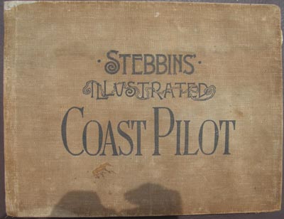
Stebbins, N. L., THE ILLUSTRATED COAST PILOT WITH
SAILING DIRECTIONS. THE ATLANTIC AND GULF COASTS OF THE UNITED STATES INCLUDING
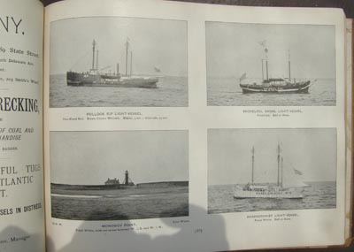
BAYS AND HARBORS. New York. 1896. 248p. Extremely difficult to find
early edition. Illustrated with over 320 superb recognition photographs of
lighthouses and light vessels along the coast during the period. Includes
sailing directions and description of lights along the coast, identifies
approaches, lights, ledges and other coastal features. Much use is made of
Stebbins’s photographs, and this work presents an excellent view of the entire
east coast from Maine to Texas, as it appeared at the turn of the century. In
original brown cloth wraps with edge wear, some staining and soiling. Contents
overall clean, tight except wear and soiling to title pages. Well worth it for
the wonderful lighthouse and light vessel photographs alone. (VG). $165.
22428. NOTICE TO MARINERS. COAST OF
MISSISSIPPI. Light-House on Merrill Shell Bank, instead of the
Light-Vessel. "….a light-house on a screw-pile
foundation has been erected on the shoal to mark the position heretofore
occupied by the light-vessel at Merrill’s Shell Bank. The foundation is
square in plan, and is composed of iron screw piles; is surmounted by a
wooden superstructure, with lantern above its centre. The height at the
focal plane is about 45 feet above mean sea level. The illuminating
apparatus is a lens of the fourth order of the system of Fresnel, showing
a fixed light of the natural color, which in ordinary states of the
weather should be visible from the deck of a vessel (ten feet above the
water) about eleven nautical miles. The light-house will be lighted up for
the first time at sun-down on the 10th of August next, and will be kept
burning during that and every night thereafter until further orders. On
the same day (August 10) the Merrill Shall Bank light-vessel will be
removed from her station and will not be replaced. By order of the
Light-house Board: Wm. F. Smith, Engineer Secretary, Office of the
Light-House Board, Washington, July 9, 1860." Clean, crisp save three
coffee-like spots, with original light folds. 8" x 13 ½". (VG)
$148 net.
U. S.
Light-House Service Light Lists
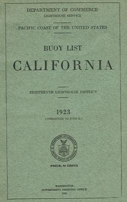
Entire United
States - early listing:
East
Coast, Gulf Coast United States
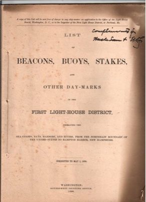
SR-451.
Lighthouse Service. LIST OF BEACONS, BUOYS, STAKES AND
OTHER DAYMARKS IN THE FIRST LIGHT-HOUSE DISTRICT. 1886. Wash. 1886.
44 p. Soft wraps. Includes all of the coastline of the First Lighthouse District
from the the Canadian border to Hampton Harbor, New Hampshire. Includes
descriptions of lights and light vessels, buoys, fog signals as well as other
important information. Includes location, height above water, distance seen,
candlepower, description of structure, and more. Some soiling and chipping to
wraps, some foxing, contents unusually clean and intact, tight. Very difficult
to find these early lists and well worth the search. Excellent resource. (VG-).
$78.
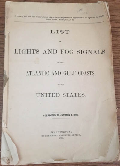 
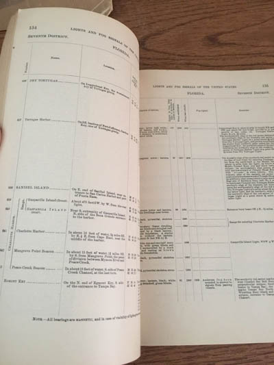
6332-73. Light-House Board. LIST
OF LIGHTS AND FOG SIGNALS ON THE ATLANTIC AND
GULF
COASTS
OF THE UNITED STATES 1896.
Wash.
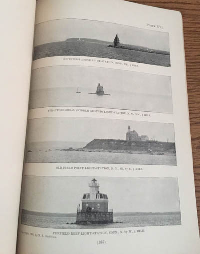
1896. 224 p. Without wraps. Sought after list includes over 120
b/w printed photographs of light stations and light-vessels for
visual recognition. Covers the coast from
Whitlocks Mill
,
Maine
to
Point Isabel
,
Texas
. Includes descriptions of lights and light vessels, buoys, fog signals as well
as other important information. Includes location, height above water, distance
seen, candlepower, description of structure, and more. Contents and photos
clean, one photo page with tear. Wraps are missing. Title page worn at edges and
chipped, balance of book wear to edges but overall intact. Very difficult to
find these early lists with photos and well worth the search. (VG-) $74.
6332-9.
Lighthouse Service. LIST OF LIGHTS, BUOYS AND DAYMARKS
IN THE FIRST LIGHT-HOUSE DISTRICT. 1907.
Wash.
1907. 150 p. Soft wraps. Includes all of the coastline of the First
Lighthouse District from the northeast boundary of the United States to Hampton
Harbor, New Hampshire. Includes descriptions of lights and light vessels, buoys,
fog signals as well as other important information. Includes location, height
above water, distance seen, candlepower, description of structure, and more.
Only light soiling to wraps, contents unusually clean and intact, tight. Very
difficult to find these early lists and well worth the search. Excellent
resource. (VG+). $128 net.
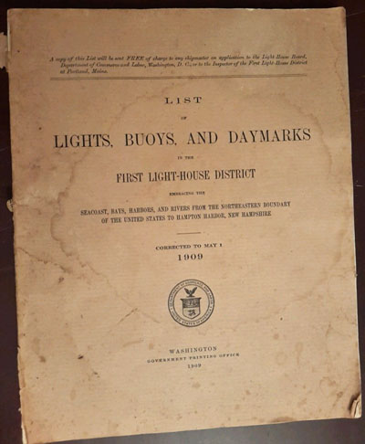 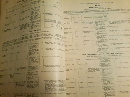
6332-71. Lighthouse Service. LIST
OF LIGHTS, BUOYS AND DAYMARKS IN THE FIRST LIGHT-HOUSE DISTRICT Embracing the
Seacoast, Bays, Harbors, and Rivers from the Northeastern Boundary of the United
States to Hampton Harbor, New Hampshire. 1909.
Wash.
1909. 146 p. Soft wraps. Includes all of the coastline of the First Lighthouse
District from the northeast boundary of the United States to Hampton Harbor, New
Hampshire. Includes descriptions of lights and light vessels, buoys, fog signals
as well as other important information. Includes location, height above water,
distance seen, candlepower, description of structure, and more. Some moisture
and soiling to wraps, spine chipped, contents unusually clean and intact, tight.
Very difficult to find these early lists and well worth the search. Excellent
resource. (VG+). $118.
6332ddd.
Lighthouse Service. LIST OF LIGHTS, BUOYS AND DAYMARKS
IN THE FIRST LIGHT-HOUSE DISTRICT. 1909.
Wash.
1909. 146 p. Soft wraps. Includes all of the coastline of the First
Lighthouse District from the Canadian border to Hampton Harbor, New Hampshire.
Includes descriptions of lights and light vessels, buoys, fog signals as well as
other important information. Includes location, height above water, distance
seen, candlepower, description of structure, and more. Soiling and chipping to
wraps, contents unusually clean and intact, tight. Very difficult to find these
early lists and well worth the search. (VG).
$110 net.
6332eee.
Lighthouse Service. LIST OF BUOYS] [INCLUDING LIGHTS,
FOG SIGNALS, BUOYS, AND DAYMARKS] MAINE AND NEW HAMPSHIRE 1911.
Wash.
1911. 88 p. Soft wraps. Includes all of the coastline of the First
Lighthouse District from the Canadian border to Hampton Harbor, New Hampshire.
Includes descriptions of lights and light vessels, buoys, fog signals as well as
other important information. Includes location, height above water, distance
seen, candlepower, description of structure, and more. Light wear, unusually
clean and intact, tight. Very difficult to find these early lists and well worth
the search. (VG+). $76 net.
6332fff.
Lighthouse Service. LIST OF BUOYS] [INCLUDING LIGHTS,
FOG SIGNALS, BUOYS, AND DAYMARKS] MAINE AND NEW HAMPSHIRE 1914.
Wash.
1914. 61 p. Soft wraps. Includes all of the coastline of the First
Lighthouse District from the Canadian border to Hampton Harbor, New Hampshire.
Includes descriptions of lights and light vessels, buoys, fog signals as well as
other important information. Includes location, height above water, distance
seen, candlepower, description of structure, and more. Light wear, unusually
clean and intact, tight. Very difficult to find these early lists and well worth
the search. (VG+).
$76 net.
6332jj.
Lighthouse Service. LOCAL [LIGHT AND] BUOY LIST
[INCLUDING LIGHTS, FOG SIGNALS, BUOYS, AND DAYMARKS]
MAINE
AND
NEW HAMPSHIRE
.
Wash.
1916. 90 p. Soft wraps. Includes all of the coastline of
Maine
and
New Hampshire
. Includes descriptions of lights and light vessels, buoys, fog signals as
well as other important information. Includes location, height above
water, distance seen, candlepower, description of structure, and more.
Overall in unusually good condition for an early list, covers nicely
intact with only a few chips and some staining, contents fairly
clean and tight, a good copy. Very difficult to find these early lists and
well worth the search. (VG-) $38 net.
27161a.
Lighthouse Service.
LOCAL
LIGHT
LIST
NEW ENGLAND COAST. Maine to Massachusetts. First and Second Lighthouse
District.
Wash.
1928. 177- p. Soft wraps. Covers the coast and harbors from the St. Croix
River, Maine south to Westport Harbor, Massachusetts. Includes descriptions of
lights and light vessels, buoys, fog signals as well as other important
information. Includes location, height above water, distance seen, candlepower,
description of structure, and more. Overall in unusually good condition for an
early list, covers nicely intact with only light wear, contents clean and tight,
a very good copy. Very difficult to find these early lists and well worth the
search. (VG+) $36 net.
27161b.
Lighthouse Service.
LOCAL
LIGHT
LIST
NEW ENGLAND COAST. Maine to Massachusetts. First and Second Lighthouse
District.
Wash.
1929. 182- p. (VG+). $36.
27161c.
Lighthouse Service.
LOCAL
LIGHT
LIST
NEW ENGLAND COAST. Maine to Massachusetts. First and Second Lighthouse
District.
Wash.
1930. 180- p. (VG+). $36.
27161d.
Lighthouse Service.
LOCAL
LIGHT
LIST
NEW ENGLAND COAST. Maine to Massachusetts. First and Second Lighthouse
District.
Wash.
1931. 178- p. (VG+). $36.
27161e.
Lighthouse Service.
LOCAL
LIGHT
LIST
NEW ENGLAND COAST. Maine to Massachusetts. First and Second Lighthouse
District.
Wash.
1932. 177- p. (VG+). $36.
27161f.
Lighthouse Service.
LOCAL
LIGHT
LIST
NEW ENGLAND COAST. Maine to Massachusetts. First and Second Lighthouse
District.
Wash.
1933. 177- p. (VG+). $36.
27161g.
Lighthouse Service.
LOCAL
LIGHT
LIST
NEW ENGLAND COAST. Maine to Massachusetts. First and Second Lighthouse
District.
Wash.
1934. 179- p. (VG+). $36.
27161i.
Lighthouse Service.
LOCAL
LIGHT
LIST
NEW ENGLAND COAST. Maine to Massachusetts. First and Second Lighthouse
District.
Wash.
1936. 182- p. (VG+). $36.
6332-17. Lighthouse Service.
LOCAL
LIGHT
LIST
NEW ENGLAND
COAST
OF THE UNITED STATES.
Maine
to
Massachusetts
.
Wash.
1933. 177 p. Soft wraps. Covers the coast from
Whitlocks Mill
,
Maine
to
Buzzards Bay
. Includes descriptions of lights and light vessels, buoys, fog signals as
well as other important information. Includes location, height above
water, distance seen, candlepower, description of structure, and more.
Overall in unusually good condition for an early list, covers nicely
intact with only light soiling, contents clean and tight, a good copy.
Very difficult to find these early lists and well worth the search.
(VG+) $48.
6332-35.
Coast Guard. LOCAL
LIST OF LIGHT
S AND OTHER MARINE AIDS – ATLANTIC COAST
OF THE UNITED STATES. VOLUME I.
St. Croix River, Maine to Watch Hill, Rhode Island. First Coast Guard
District. CG-158. Wash.
1958. 168 p. Soft wraps. Covers the coast from
Whitlocks Mill
, Maine
to
Watch Hill, RI. Includes descriptions of lights and light vessels, buoys, fog
signals as well as other important information. Includes location, height above
water, distance seen, candlepower, description of structure, and more. Overall
in unusually good condition for an early list, covers nicely intact with only a
few chips, light soil, contents clean and tight, a good copy. Very difficult to
find these early lists and well worth the search. (VG) $22.
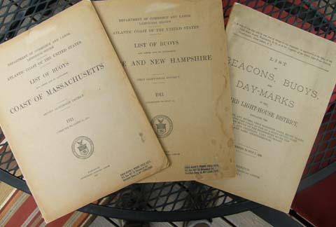
6332-68.
Lighthouse Service. LIST OF BUOYS [LIGHTS and DAYMARKS]
IN THE FIRST LIGHT-HOUSE DISTRICT. 1911.
Wash.
1911. 88 p. Soft wraps. Includes all of the coastline of the First
Lighthouse District from the northeast boundary of the
United States
to
Hampton Harbor
,
New Hampshire
. Includes descriptions of lights and light vessels, buoys, fog signals as well
as other important information. Includes location, height above water, distance
seen, candlepower, description of structure, and more. Only light soiling to
wraps, contents unusually clean and intact, tight. Very difficult to find these
early lists and well worth the search. Excellent resource. (VG+). $68.
6332-69.
Lighthouse Service. LIST OF BUOYS [LIGHTS and DAYMARKS]
IN THE SECOND LIGHT-HOUSE DISTRICT. 1911.
Wash.
1911. 70 p. Soft wraps. Includes all of the coastline of the Second
Lighthouse District from
Hampton Harbor
,
New Hampshire
to Warren Point, Rhode Island. Includes descriptions of lights and light
vessels, buoys, fog signals as well as other important information. Includes
location, height above water, distance seen, candlepower, description of
structure, and more. Only light soiling to wraps, contents unusually clean and
intact, tight. Very difficult to find these early lists and well worth the
search. Excellent resource. (VG). $68.
3142c.
Lighthouse Service. LIST OF BEACONS, BUOYS,
STAKES, SPINDLES AND ALL OTHER DAY MARKS IN THE SECOND LIGHT-HOUSE
DISTRICT 1879. Wash. 1879. 64p. Soft wraps. Includes all of the
coastline of the Second Lighthouse District embracing the seacoasts, bays,
harbors, and rivers, from Hampton Harbor, New Hampshire, to Gooseberry
Point, Massachusetts, including Nantucket and Vineyard Sounds, Buzzards
Bay, and tributaries. Includes descriptions of lights and light vessels,
buoys, fog signals as well as other important information. Includes
location, height above water, distance seen, candlepower, description of
structure, and more. Some soiling and chipping to wraps, some foxing,
contents unusually clean and intact. Very difficult to find these early
lists and well worth the search. Excellent resource. (VG-). $88.
SR-452.
Lighthouse Service. LIST OF BEACONS, BUOYS, STAKES,
SPINDLES AND ALL OTHER DAY MARKS IN THE SECOND LIGHT-HOUSE DISTRICT 1886.
Wash. 1886. 64p. Soft wraps. Includes all of the coastline of the Second
Lighthouse District embracing the seacoasts, bays, harbors, and rivers, from
Hampton Harbor, New Hampshire, to Gooseberry Point, Massachusetts, including
Nantucket and Vineyard Sounds, Buzzards Bay, and tributaries. Includes
descriptions of lights and light vessels, buoys, fog signals as well as other
important information. Includes location, height above water, distance seen,
candlepower, description of structure, and more. Some soiling and chipping to
wraps, some foxing, contents unusually clean and intact. Very difficult to find
these early lists and well worth the search. Excellent resource. (VG-). $78.
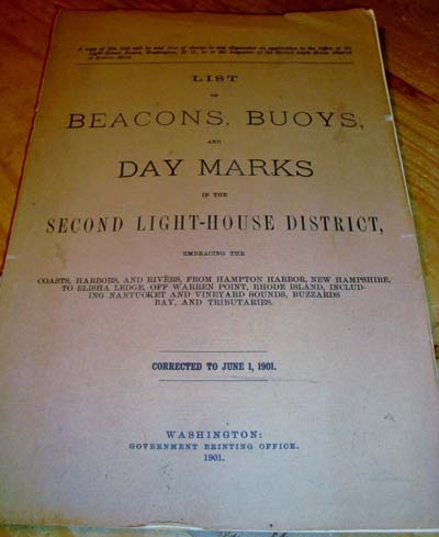 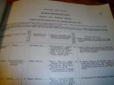
6332-54. Lighthouse Service. LIST
OF BEACONS, BUOYS AND DAYMARKS IN THE SECOND LIGHT-HOUSE DISTRICT. 1901.
Wash. 1901. 121 p. Soft wraps. Includes all of the coastline of the Second
Lighthouse District from Hampton Harbor, New Hampshire to Warren Point, Rhode
Island. Includes descriptions of lights and light vessels, buoys, fog signals as
well as other important information. Includes location, height above water,
distance seen, candlepower, description of structure, and more. Only light
soiling to wraps, moderate chipping, front wrap detached, contents unusually
clean and intact, tight. Very difficult to find these early lists and well worth
the search. Excellent resource. (VG-). $112.
6332-7.
Lighthouse Service. LIST OF LIGHTS, BUOYS AND
DAYMARKS IN THE SECOND LIGHT-HOUSE DISTRICT. 1907. Wash. 1907.
136 p. Soft wraps. Includes all of the coastline of the Second
Lighthouse District from Hampton Harbor, New Hampshire to Warren Point,
Rhode Island. Includes descriptions of lights and light vessels, buoys,
fog signals as well as other important information. Includes location,
height above water, distance seen, candlepower, description of structure,
and more. Only light soiling to wraps, contents unusually clean and
intact, tight. Very difficult to find these early lists and well worth the
search. Excellent resource. (VG). $128 net.
6332nn.
Lighthouse Service. LOCAL [LIGHT AND] BUOY LIST
[INCLUDING LIGHTS, FOG SIGNALS, BUOYS, AND DAYMARKS] MASSACHUSETTS.
Wash.
1918. 68 p. Soft wraps. Includes all of the coastline of
Massachusetts. Includes descriptions of lights and light vessels, buoys,
fog signals as well as other important information. Includes location,
height above water, distance seen, candlepower, description of structure,
and more. Overall in unusually good condition for an early list, covers
nicely intact with only a few chips and some staining, contents crisp and
clean, tight, a very good copy. Very difficult to find these early lists
and well worth the search. (VG) $38 net.
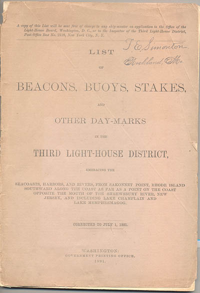
6332-44.
Lighthouse Service. LIST OF BEACONS, BUOYS, STAKES, AND
OTHER DAY MARKS IN THE THIRD LIGHT-HOUSE DISTRICT 1891. Wash. 1891.
110p. Soft wraps. Includes all of the coastline of the Third Lighthouse District
from Warren Point, Rhode Island to a point opposite Shrewsbury Rocks, New Jersey
including Lake Champlain and Lake Memphremagog including Narragansett Bay, Long
Island Sound, Gardiner’s Bay, Newark Bay, Mew York Bay, Hudson River, Fire
Island Inlet and Rockaway Inlet. Includes descriptions of lights and light
vessels, buoys, fog signals as well as other important information. Includes
location, height above water, distance seen, candlepower, description of
structure, and more. Overall in good condition for an early list, light chipping
to front wrap, back wrap missing, spine worn, contents clean and tight. Some
soiling and chipping to wraps, Very difficult to find these early lists and well
worth the search. Excellent resource. (VG). $94.
27154c.
Lighthouse Service.
LOCAL
LIGHT
LIST
NEW YORK
AND APPROACHES. Narragansett Bay to
Cape
May. Third Lighthouse District.
Wash.
1930. 248p. Soft wraps. Covers the coast and harbors from
Naragansett Bay
,
Rhode Island
to
Cape May
,
New Jersey
. Includes descriptions of lights and light vessels, buoys, fog signals as well
as other important information. Includes location, height above water, distance
seen, candlepower, description of structure, and more. Overall in unusually good
condition for an early list, covers nicely intact with only light wear, contents
clean and tight, a very good copy. Very difficult to find these early lists and
well worth the search. (VG+) $26 net.
27154f.
Lighthouse Service.
LOCAL
LIGHT
LIST
NEW YORK AND APPROACHES. Narragansett Bay to Cape May. Third Lighthouse
District.
Wash.
1933. 250- p. (VG+). $26.
27154g.
Lighthouse Service.
LOCAL
LIGHT
LIST
NEW YORK AND APPROACHES. Narragansett Bay to Cape May. Third Lighthouse
District.
Wash.
1934. 250- p. (VG+). $26.
27154h.
Lighthouse Service.
LOCAL
LIGHT
LIST
NEW YORK AND APPROACHES. Narragansett Bay to Cape May. Third Lighthouse
District.
Wash.
1935. 253- p. (VG+). $26.
6332-36.
Coast Guard. LOCAL
LIST OF LIGHT
S AND OTHER MARINE AIDS – ATLANTIC COAST
OF THE UNITED STATES. VOLUME II.
Watch Hill, Rhode Island to Fenwick Island, Delaware. Third Coast
Guard District. CG-158. Wash.
1959. 205 p. Soft wraps. Covers the coast from
Watch Hill, RI., to Fenwick Island, Delaware. Includes descriptions of lights
and light vessels, buoys, fog signals as well as other important information.
Includes location, height above water, distance seen, candlepower, description
of structure, and more. Overall in unusually good condition for an early list,
covers nicely intact with only a few chips, light soil, contents clean and
tight, a good copy. Very difficult to find these early lists and well worth the
search. (VG) $22.
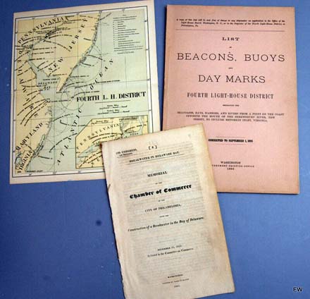
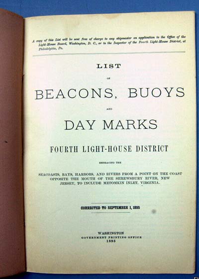
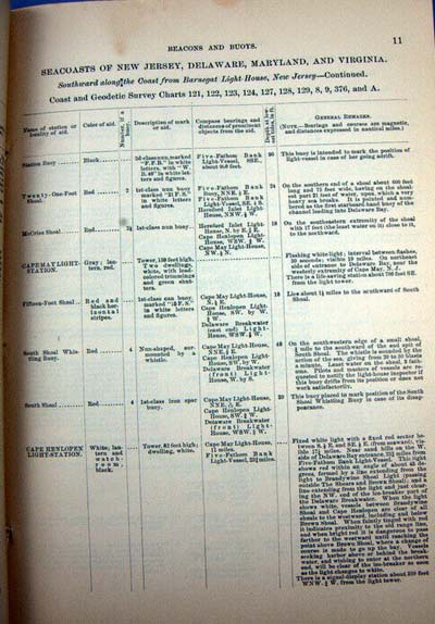
6332-82.
(lot 3 items) Lighthouse Service. LIST OF BEACONS,
BUOYS, AND OTHER DAYMARKS IN THE FOURTH LIGHT-HOUSE DISTRICT. 1895.
Wash.
1895. 44 p. Soft wraps. Includes all of the coastline of the Fourth Lighthouse
District from the mouth of the Shrewsbury River, New Jersey to Metomkin Inlet,
Virginia. Includes descriptions of lights and light vessels, buoys, fog signals
as well as other important information. Includes location, height above water,
distance seen, candlepower, description of structure, and more. Unusually clean
and intact, tight. Very difficult to find these early lists and well worth the
search. Also included is a disbound pamphlet entitled: Act
City of Philadelphia Upon the Construction of a Breakwater in the Delaware Bay.
Wash. 1825. 6p., as well as original Lighthouse Service district map
Fourth Light House District 1890. 8 ½” x 10” 3-color. Excellent
resource. (VG+). $125.
6332gg.
Light-House Board. LIST OF [LIGHTS], BUOYS, AND
OTHER AIDS TO NAVIGATION
CAPE
LOOKOUT
TO HILLSBORO INLET. SIXTH LIGHT HOUSE DISTRICT.
Wash.
1911. 60 p. Soft wraps. Covers the coast from
Cape Lookout
,
North Carolina
to
Hillsboro Inlet
,
Florida
and surrounding area. Includes descriptions of lights and light vessels,
buoys, fog signals as well as other important information. Includes
location, height above water, distance seen, candlepower, description of
structure, and more. Overall in unusually good condition for an early
list, covers nicely intact with only a few chips, contents quite clean and
tight, a very nice copy. Very difficult to find these early lists and well
worth the search. (VG+). $74 net.
Great
Lakes United States & Canada
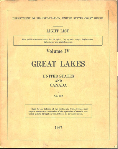
6332-70. Coast Guard. LIGHT
LIST Volume IV GREAT LAKES – United States and Canada. CG-159.
Ninth Coast Guard District. Wash. 1967. 214 p. Soft wraps. Covers the entire
Great Lakes and the St. Lawrence River above St. Regis River. Includes fold-out
map of the Radiobeacon System on the Great Lakes. Includes descriptions of
lights and light vessels, buoys, fog signals as well as other important
information. Includes location, height above water, distance seen, candlepower,
description of structure, and more. Overall in good condition for an early list,
covers nicely intact with light soil, contents clean and tight, a good copy.
Very difficult to find these early lists and well worth the search. (VG) $38.
Mississippi
& Western Rivers
6666k.
Treasury
Dept.
,
U.S.
Coast Guard. LIST OF LIGHTS AND OTHER MARINE AIDS
MISSISSIPPI RIVER
SYSTEM. CG-161. GPO. 1959. 269pp. Desirable listing includes
detailed information on all lighthouses, lightships, post lights and other
aids to navigation including location, characteristics, order of light,
apparatus or illuminant, height, color and peculiarities, fog signal
information, and much more. Soft wraps unusually intact, very little
wear. Contents quite clean, tight. (VG+). $16.
Pacific
Coast United States
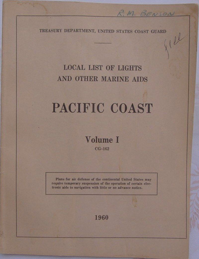 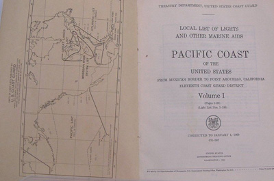
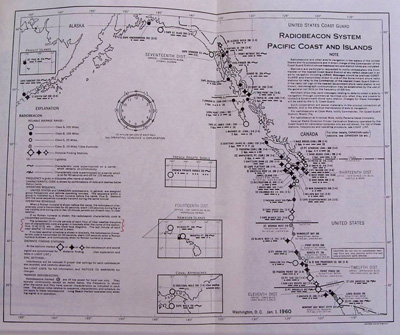
6332-66. Coast
Guard. LOCAL LIST OF LIGHTS AND OTHER MARINE AIDS –
PACIFIC COAST OF THE UNITED STATES. VOLUME I. Mexican Border to Point
Arguello, California. Eleventh Coast Guard District. CG-162. Wash. 1960. 32
p. Soft wraps. Covers the California coast from Point Loma Light to Point
Hueneme Light, and includes Panama as well. Includes descriptions of lights and
light vessels, buoys, fog signals as well as other important information.
Includes location, height above water, distance seen, candlepower, description
of structure, and more. Overall in good condition for an early list, covers
nicely intact with light soil, contents clean and tight, a good copy. Very
difficult to find these early lists and well worth the search. (VG) $38.
The World
North and
South America
British
Isles
U. S. Coast
Pilots
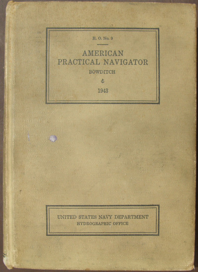
2825b. Bowditch, Nathaniel. (U. S.
Navy) AMERICAN PRACTICAL NAVIGATOR – An Epitome of
Navigation and Nautical Astronomy. GPO. Washington. 1943. 777p. The
American Practical Navigator , written by Nathaniel Bowditch, is an encyclopedia
of navigation, a valuable handbook on oceanography and meterology, and contains
useful tables and a maritime glossary. In 1866 the copyright and plates were
bought by the Hydrographic Office of the United States Navy. The most popular
navigational text of the late 18th century was The New Practical Navigator by
John Hamilton Moore. Edmund M. Blunt, a Newburyport, Massachusetts publisher,
decided to issue a revised copy of this work for American navigators and
convinced Nathaniel Bowditch, a locally famous mariner and mathematician, to
revise and update it with the help of several others. Blunt's The New Practical
Navigator was published in 1799, followed by a second edition in 1800. By 1802,
when Blunt was ready to publish a third edition, Nathaniel Bowditch and others
had corrected so many errors in Hamilton's work that Blunt decided to publish it
as the first edition of a new work, The New American Practical Navigator. The
current edition of the American Practical Navigator traces its pedigree to that
1802 edition. Edmund M. Blunt continued to published the book until 1833; upon
his retirement, his sons, Edmund and George, assumed publication. The elder
Blunt died in 1862; his son Edmund followed in 1866. The next year, 1867, George
Blunt sold the copyright to the government for $25,000. The government has
published Bowditch ever since. The U.S. government has published some 52
editions since acquiring the copyright to the book that has come to be known
simply by its original author’s name, "Bowditch". Since the
government began production, the book has been known by its year of publishing,
instead of by the edition number. Hard Cover, very good, beige cloth wraps. Book
tight, completely intact, some expected soiling and wear to cloth wraps. (VG).
$24.
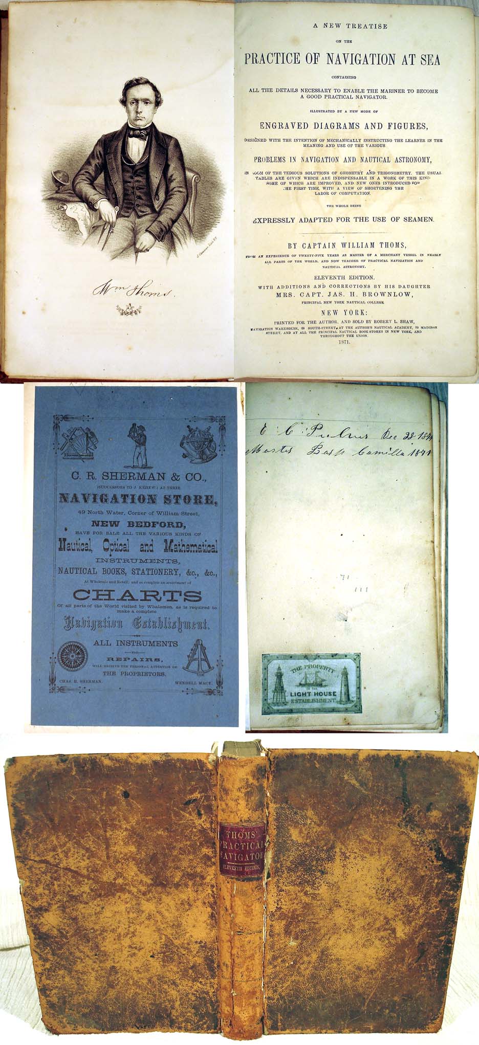
10394. Thoms, Captain William. A
New Treatise On The Practice Of Navigation At Sea Containing All The Details
Necessary To Enable The Mariner To Become A Good Practical Navigator. New
York: Privately Printed for the Author and Sold by Robert L. Shaw. 1871.
Eleventh edition. 257p. b/w plates. Good example of a navigational text
published by one of Bowditch’s competitors. Eleventh edition, the first having
been published in 1854. As America’s merchant marine expanded, need for this
kind of information grew apace. Capt. Thoms was founder of the New York Nautical
School, of which 'Mrs. Captain Wm. Thoms' was Principal. In addition to the
usual methods of finding position at sea, he introduces his own new method of
finding longitude by measuring the moon's declination in relation to a star. Of
interest in this text are the list of captains (and their vessels) promoting
this work. Illustrations printed white on black, in the manner that had a brief
vogue during this period. Includes pasted in label “Property of the Light
House Establishment” which may not be authentic. Bound in original full calf.
All signatures tight, hinges a bit loose, some tape repair. Covers heavily
rubbed and chipped along lower back edge of spine. $95.
1335d.
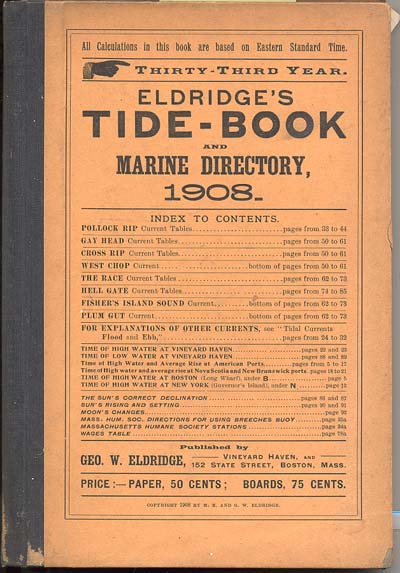
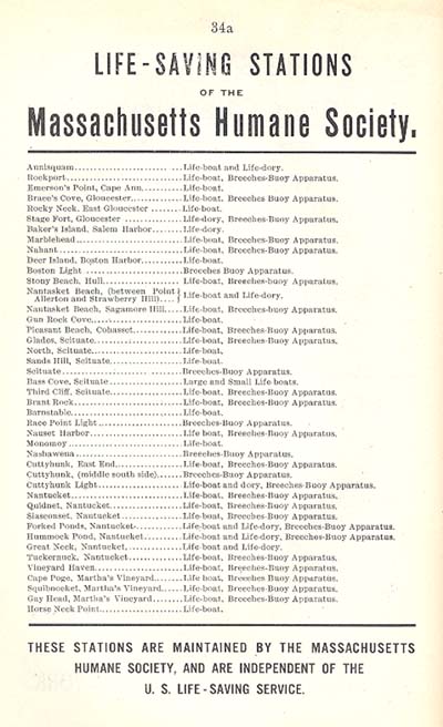
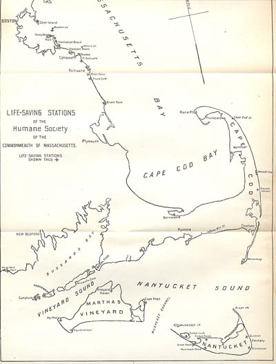
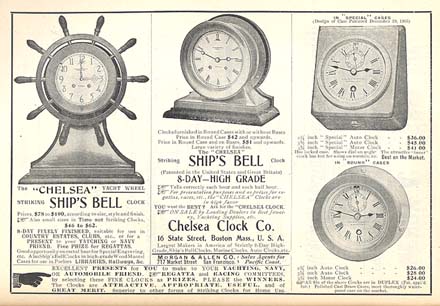
Eldridge, George W. and M.E. ELDRIDGE’S TIDE-BOOK AND
MARINE DIRECTORY, 1911. Boston. 1911. 100p plus 72p illustrated
advertising section. Soft wraps. Eldridge, whose father George started him in
the chart business, is probably best known as the compiler of Eldridge’s Tide
and Pilot Book, still in use today. His charts were compiled from his and his
father’s own surveys. Includes a wealth of information including tide tables
for harbors from Nova Scotia to Long Island Sound, sun’s rising, setting,
declination, moon’s changes, wage tables and more. Also includes detailed
information on the Massachusetts Humane Society Life-Saving stations including
complete listing, large 8 ½” x 14” fold-out map of Hmane Society stations,
Instructions to Seamen Concerning the Use of Breeches Buoy Apparatus, etc. Also
includes 84 pages of attractive and interesting illustrated advertisements for
marine businesses including wonderful 1908 illustrated add for Chelsea marine
clocks, etc. Overall clean, tight, some expected wear, wraps present but
detached. A desirable item, worth it for the Humane Society map alone. (VG-).
$45. Sold.
1335e.
(same) 1912. 100p. plus 80p various
advertisements. Soft wraps. Some moisture, wraps detached. (G+). $28.
1335f.
(same) 1922. 100p. plus 36p various
advertisements. Without Humane Society. Soft wraps, chipped. (VG-). $18.
Northeast
United States
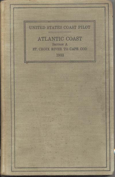
450. U.S. Coast and Geodetic Survey. UNITED
STATES COAST PILOT. Atlantic Coast. Section A. St. Croix River to Cape Cod.
Fifth (1950) Edition. Hard cover. 410pp. $12.
4434. U.S. Coast and Geodetic Survey. UNITED
STATES COAST PILOT. Atlantic Coast. Section A. St. Croix River to Cape Cod.
Second Edition. 1927. 356pp. Covers soiled but tight. Includes listing of Coast Guard and Mass. Humane
Society Stations, Instructions to Mariners in case of Shipwreck, etc. (G)
$22.
Atlantic
& Gulf & Pacific Coast United States
6629. U.S. Coast and Geodetic Survey. UNITED
STATES COAST PILOT 3. Sandy Hook to Cape Henry. Sixth (1953) Edition.
Hard cover. 402pp. Includes laid in Supplement for March 10, 1956 as well
as partial Pilot Rules for Inland Waters [78p.]. (G) $22.
6464. Navy Department. SAILING DIRECTIONS
FOR THE NORTH SEA (EASTERN SHORES). 1933. 128pp. Soft wraps. $13.
870. ANNUAL
REPORT OF THE COMMISSIONER OF NAVIGATION TO THE SECRETARY OF COMMERCE AND LABOR
FOR THE FISCAL YEAR ENDING JUNE 30, 1914.
Wash.
1914. 206 p. Original gilt embossed maroon government binding. Detailed report
covers all aspects of shipping and navigation for the year. Details include
analysis of year’s ship construction, steam steel vessels, fast steamships,
registered steam vessels, square rigged American vessels, radio apparatus on
vessels, motor boats, rig of sail vessels, coasting trade, safety of life at
sea, measurements of vessels, desertion of seamen, forecastle accommodations,
wireless-ship act, wages, and much more. Clean, tight, in moderately worn
binding. (VG-). $44.
Page updated September 28, 2021
Procedure
to order items:
1. I suggest that you call us or
email to check on availability of any item that you would like other than
recent books. As items go quite quickly, please call and leave a message to
reserve items that you would like. I will return your call, hold the items and
await your letter or credit card information. We will also weigh the items and
advise postage.
2. You may then call or email credit
card information, or forward a check in the mail.
Most items are mailed US Priority Mail
or UPS. Additional information on our "Ordering Page".
Massachusetts residents must add 6.25% sales tax.
Can't find what you are looking for?
We can help you find that needed book or item.
mailto:[email protected]
How to reach us:
Kenrick A. Claflin & Son Nautical Antiques
1227 Pleasant Street, Worcester, MA 01602
Phone (508) 792-6627
All
text and illustrations on web site Ó
James W. Claflin . 09/28/2021
All rights
reserved. Use prohibited without written permission.

|


